
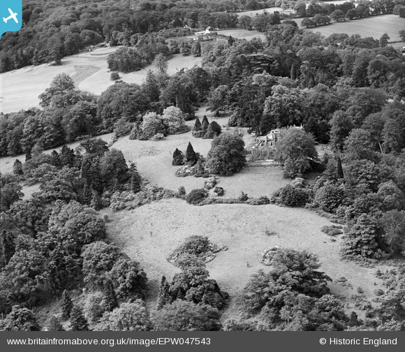
EPW047543 ENGLAND (1935). St Leonardshill, Windsor, 1935
© Copyright OpenStreetMap contributors and licensed by the OpenStreetMap Foundation. 2026. Cartography is licensed as CC BY-SA.
Nearby Images (12)
EPW047543

EPW047547

EPW047546

EPW047544

EPW047545

EPW047542

EPW047387

EPW047390

EPW047257

EPW047256

EPW047258

EPW047259

Details
| Title | [EPW047543] St Leonardshill, Windsor, 1935 |
| Reference | EPW047543 |
| Date | June-1935 |
| Link | |
| Place name | WINDSOR |
| Parish | |
| District | |
| Country | ENGLAND |
| Easting / Northing | 493854, 175244 |
| Longitude / Latitude | -0.6486769141749, 51.467884349935 |
| National Grid Reference | SU939752 |
Pins
Be the first to add a comment to this image!