
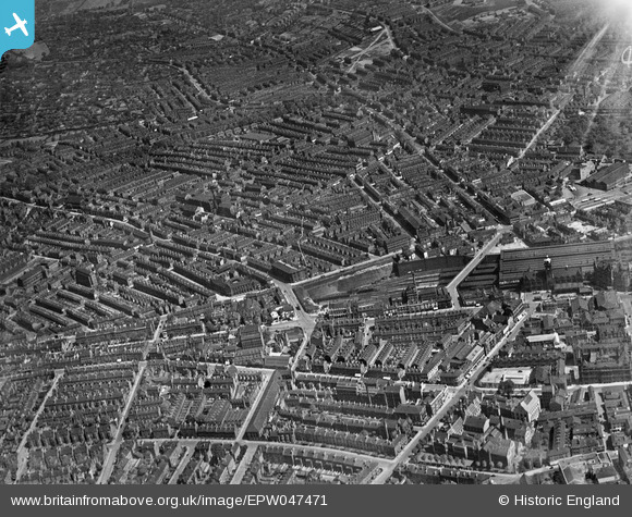
EPW047471 ENGLAND (1935). Victoria Station and environs, Nottingham, 1935
© Copyright OpenStreetMap contributors and licensed by the OpenStreetMap Foundation. 2026. Cartography is licensed as CC BY-SA.
Nearby Images (2)
EPW047471

EAW025944

Details
| Title | [EPW047471] Victoria Station and environs, Nottingham, 1935 |
| Reference | EPW047471 |
| Date | May-1935 |
| Link | |
| Place name | NOTTINGHAM |
| Parish | |
| District | |
| Country | ENGLAND |
| Easting / Northing | 457437, 340645 |
| Longitude / Latitude | -1.1448445477078, 52.959782213737 |
| National Grid Reference | SK574406 |
Pins

KC |
Thursday 4th of September 2025 05:54:33 PM | |
|
KC |
Thursday 4th of September 2025 05:54:06 PM | |
|
Riddo27 |
Monday 3rd of August 2015 02:56:25 PM | |
|
Riddo27 |
Monday 3rd of August 2015 02:53:58 PM | |
|
Riddo27 |
Monday 3rd of August 2015 02:52:56 PM | |
|
Riddo27 |
Monday 3rd of August 2015 02:52:05 PM | |
|
Riddo27 |
Monday 3rd of August 2015 02:49:30 PM |