
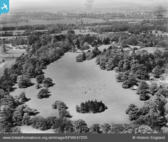
EPW047255 ENGLAND (1935). St Leonardshill House and grounds, Windsor, from the east, 1935
© Copyright OpenStreetMap contributors and licensed by the OpenStreetMap Foundation. 2026. Cartography is licensed as CC BY-SA.
Nearby Images (7)
EPW047255

EPW047389

EPW047388

EPW047258

EPW047259

EPW047256

EPW047257

Details
| Title | [EPW047255] St Leonardshill House and grounds, Windsor, from the east, 1935 |
| Reference | EPW047255 |
| Date | May-1935 |
| Link | |
| Place name | WINDSOR |
| Parish | |
| District | |
| Country | ENGLAND |
| Easting / Northing | 494216, 175094 |
| Longitude / Latitude | -0.64350634850055, 51.466475675418 |
| National Grid Reference | SU942751 |
Pins
Be the first to add a comment to this image!