
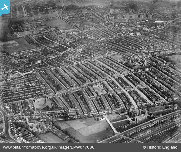
EPW047006 ENGLAND (1935). The Totterdown Fields Estate, Upper Tooting, 1935
© Copyright OpenStreetMap contributors and licensed by the OpenStreetMap Foundation. 2026. Cartography is licensed as CC BY-SA.
Nearby Images (9)
EPW047006

EPW047003

EPW047001

EPW046998

EPW047005

EPW047000

EPW046997

EPW046999

EPW047002

Details
| Title | [EPW047006] The Totterdown Fields Estate, Upper Tooting, 1935 |
| Reference | EPW047006 |
| Date | May-1935 |
| Link | |
| Place name | UPPER TOOTING |
| Parish | |
| District | |
| Country | ENGLAND |
| Easting / Northing | 527952, 171638 |
| Longitude / Latitude | -0.15926954615436, 51.428790624347 |
| National Grid Reference | TQ280716 |
Pins

Paul Noel |
Tuesday 1st of July 2014 11:14:56 AM |