
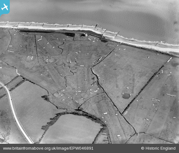
EPW046891 ENGLAND (1935). The Clacton-on-Sea Golf Course, Clacton-on-Sea, 1935
© Copyright OpenStreetMap contributors and licensed by the OpenStreetMap Foundation. 2026. Cartography is licensed as CC BY-SA.
Nearby Images (10)
EPW046891

EPW046888

EPW046882

EPW046890

EPW046881

EPW046887

EPW046886

EPW046884

EPW046880

EPW046885

Details
| Title | [EPW046891] The Clacton-on-Sea Golf Course, Clacton-on-Sea, 1935 |
| Reference | EPW046891 |
| Date | April-1935 |
| Link | |
| Place name | CLACTON-ON-SEA |
| Parish | |
| District | |
| Country | ENGLAND |
| Easting / Northing | 615910, 213562 |
| Longitude / Latitude | 1.130304564139, 51.778552508441 |
| National Grid Reference | TM159136 |
Pins

Chris Kolonko |
Saturday 16th of September 2017 07:43:07 PM |