
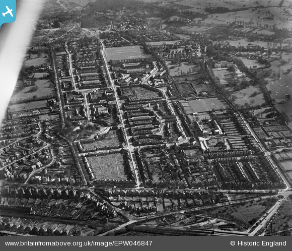
EPW046847 ENGLAND (1935). The residential area surrounding Huntingfield Road and The Pleasance, Roehampton, 1935. This image has been affected by flare.
© Copyright OpenStreetMap contributors and licensed by the OpenStreetMap Foundation. 2026. Cartography is licensed as CC BY-SA.
Nearby Images (5)
EPW046847

EPW046842

EPW046848

EPW046843

EPW046841

Details
| Title | [EPW046847] The residential area surrounding Huntingfield Road and The Pleasance, Roehampton, 1935. This image has been affected by flare. |
| Reference | EPW046847 |
| Date | April-1935 |
| Link | |
| Place name | ROEHAMPTON |
| Parish | |
| District | |
| Country | ENGLAND |
| Easting / Northing | 522426, 175010 |
| Longitude / Latitude | -0.23755915273683, 51.460320348307 |
| National Grid Reference | TQ224750 |
Pins

Pink Sparkle Girl |
Tuesday 22nd of April 2025 08:58:15 PM |