
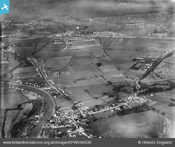
EPW046530 ENGLAND (1935). Land between Laleham and Staines, Laleham, 1935
© Copyright OpenStreetMap contributors and licensed by the OpenStreetMap Foundation. 2026. Cartography is licensed as CC BY-SA.
Nearby Images (4)
EPW046530

EPW046531

EPW046532

EPW046533

Details
| Title | [EPW046530] Land between Laleham and Staines, Laleham, 1935 |
| Reference | EPW046530 |
| Date | February-1935 |
| Link | |
| Place name | LALEHAM |
| Parish | |
| District | |
| Country | ENGLAND |
| Easting / Northing | 505094, 169775 |
| Longitude / Latitude | -0.4885233218607, 51.416744768631 |
| National Grid Reference | TQ051698 |
Pins

Class31 |
Tuesday 15th of September 2015 10:51:39 AM | |

Billy121 |
Thursday 17th of July 2014 12:50:19 PM | |
|
Billy121 |
Thursday 17th of July 2014 12:47:06 PM | |
|
Billy121 |
Thursday 17th of July 2014 12:46:28 PM | |
|
Billy121 |
Thursday 17th of July 2014 12:45:35 PM | |
|
Billy121 |
Thursday 17th of July 2014 12:41:19 PM | |
|
Billy121 |
Thursday 17th of July 2014 12:39:06 PM | |
|
Billy121 |
Thursday 17th of July 2014 12:36:49 PM |