
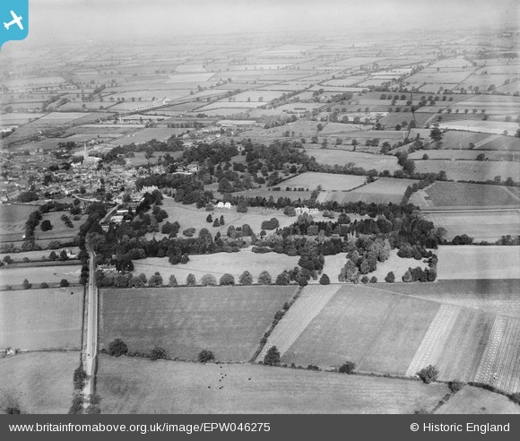
EPW046275 ENGLAND (1934). The Vale of Catmose and Oakham town, Oakham, from the south-east, 1934
© Copyright OpenStreetMap contributors and licensed by the OpenStreetMap Foundation. 2025. Cartography is licensed as CC BY-SA.
Nearby Images (4)
EPW046275

EPW046279

EPW046274

EPW046273

Details
| Title | [EPW046275] The Vale of Catmose and Oakham town, Oakham, from the south-east, 1934 |
| Reference | EPW046275 |
| Date | October-1934 |
| Link | |
| Place name | OAKHAM |
| Parish | OAKHAM |
| District | |
| Country | ENGLAND |
| Easting / Northing | 486730, 308029 |
| Longitude / Latitude | -0.71747155760276, 52.662684840621 |
| National Grid Reference | SK867080 |
Pins
 Ian Smeeton |
Thursday 13th of June 2013 08:44:46 PM |