
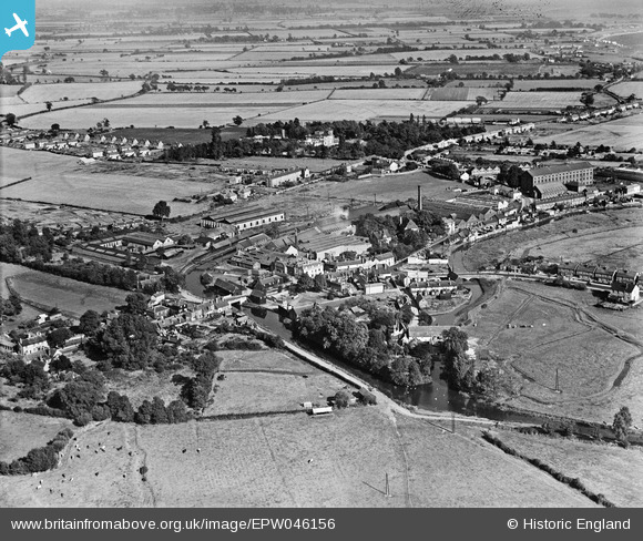
EPW046156 ENGLAND (1934). The E. H. Bentall and Co Works and environs, Heybridge, from the south-west, 1934
© Copyright OpenStreetMap contributors and licensed by the OpenStreetMap Foundation. 2026. Cartography is licensed as CC BY-SA.
Nearby Images (3)
EPW046156

EPW046158

EPW046157

Details
| Title | [EPW046156] The E. H. Bentall and Co Works and environs, Heybridge, from the south-west, 1934 |
| Reference | EPW046156 |
| Date | September-1934 |
| Link | |
| Place name | HEYBRIDGE |
| Parish | HEYBRIDGE |
| District | |
| Country | ENGLAND |
| Easting / Northing | 585282, 208133 |
| Longitude / Latitude | 0.6839286377615, 51.74076797681 |
| National Grid Reference | TL853081 |
