
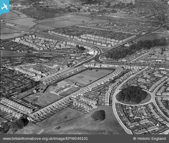
EPW046101 ENGLAND (1934). Harrow Road, Wollaton Road and environs, Wollaton, 1934
© Copyright OpenStreetMap contributors and licensed by the OpenStreetMap Foundation. 2026. Cartography is licensed as CC BY-SA.
Nearby Images (8)
EPW046101

EPW046104

EPW046106

EPW046103

EPW046105

EPW043929

EPW046102

EPW043927

Details
| Title | [EPW046101] Harrow Road, Wollaton Road and environs, Wollaton, 1934 |
| Reference | EPW046101 |
| Date | September-1934 |
| Link | |
| Place name | WOLLATON |
| Parish | |
| District | |
| Country | ENGLAND |
| Easting / Northing | 454240, 340005 |
| Longitude / Latitude | -1.1925452084644, 52.954361883761 |
| National Grid Reference | SK542400 |
Pins

martynrb |
Monday 19th of December 2016 07:25:03 AM |