
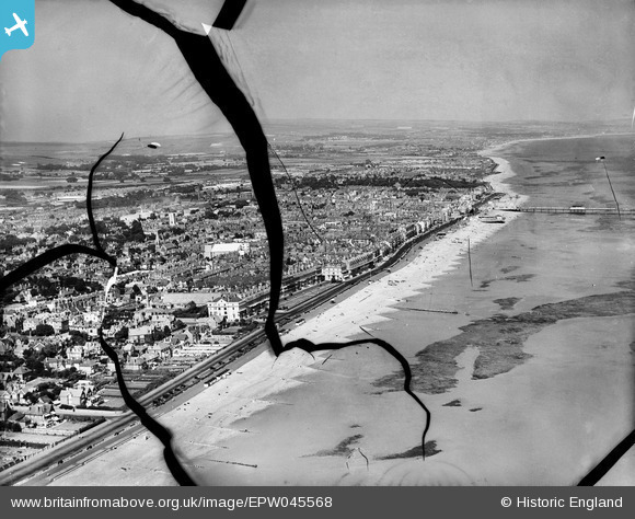
EPW045568 ENGLAND (1934). The seafront and town, Worthing, from the south-west, 1934. This image has been produced from a damaged negative.
© Copyright OpenStreetMap contributors and licensed by the OpenStreetMap Foundation. 2026. Cartography is licensed as CC BY-SA.
Nearby Images (8)
EPW045568

EPW011529

EPW000241

EPW011528

EPW039492

EPW020180

EPW018283

EPW054070

Details
| Title | [EPW045568] The seafront and town, Worthing, from the south-west, 1934. This image has been produced from a damaged negative. |
| Reference | EPW045568 |
| Date | July-1934 |
| Link | |
| Place name | WORTHING |
| Parish | |
| District | |
| Country | ENGLAND |
| Easting / Northing | 513898, 102052 |
| Longitude / Latitude | -0.3833433545959, 50.806249756743 |
| National Grid Reference | TQ139021 |
Pins

Alan McFaden |
Wednesday 1st of January 2014 11:16:09 PM | |
|
Alan McFaden |
Wednesday 1st of January 2014 03:36:41 PM | |
|
Alan McFaden |
Wednesday 4th of December 2013 10:39:52 AM |


User Comment Contributions
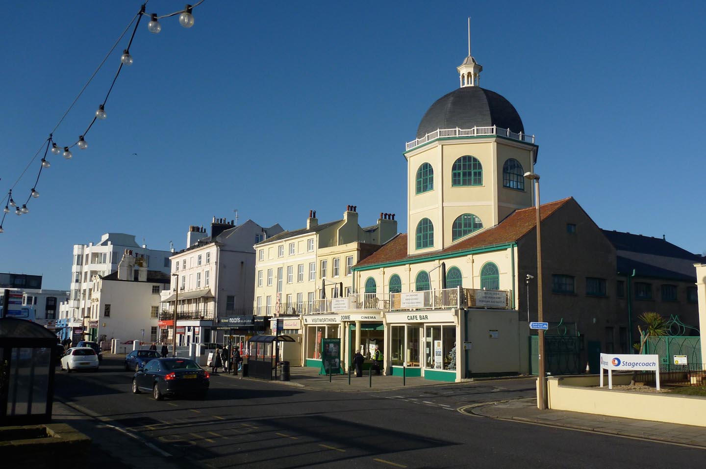
Worthing Dome Cinema |
Alan McFaden |
Sunday 2nd of November 2014 11:09:26 AM |
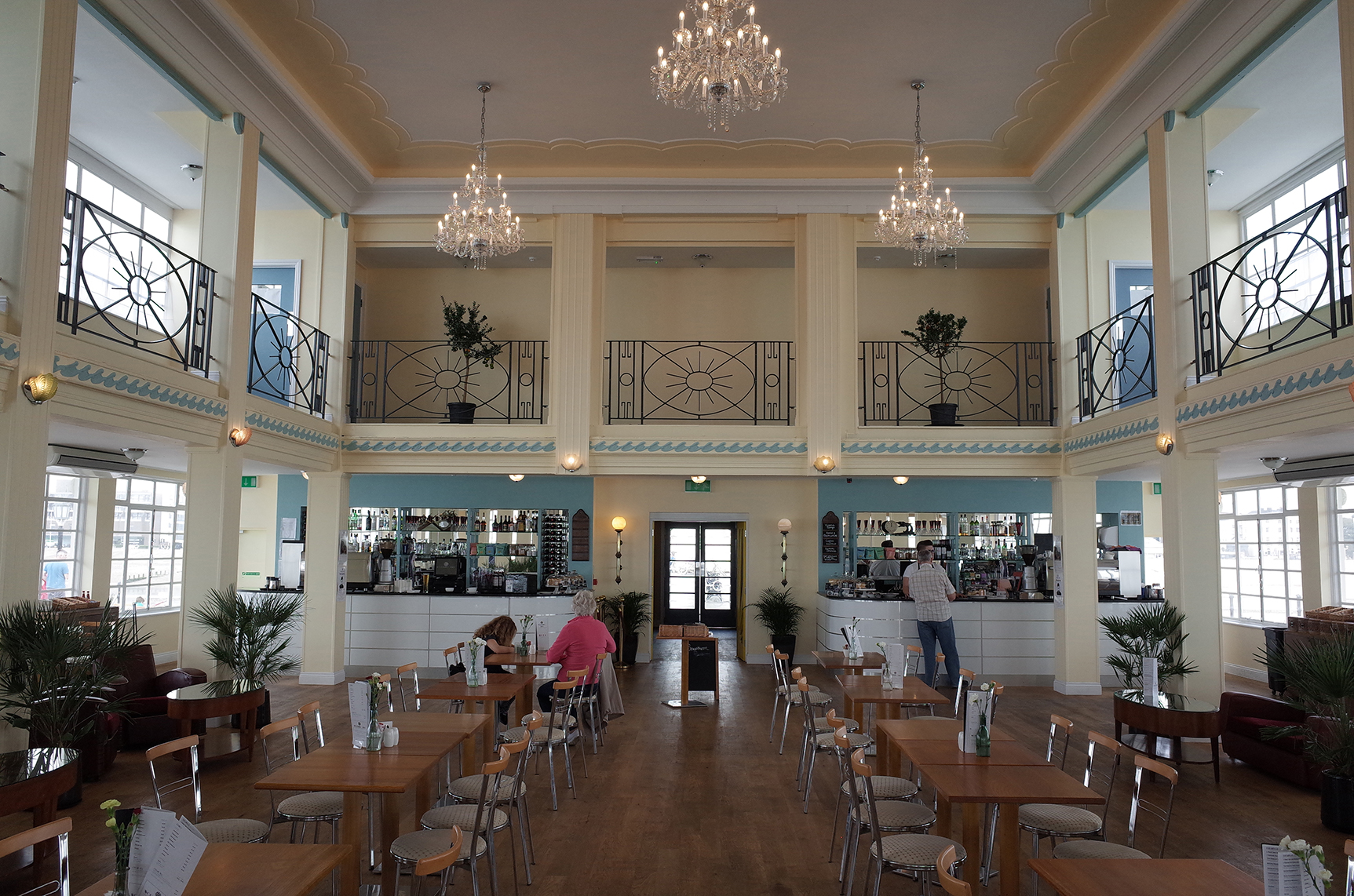
Worthing Pier Pavilion renovated 2014 |
Alan McFaden |
Sunday 2nd of November 2014 11:08:51 AM |