
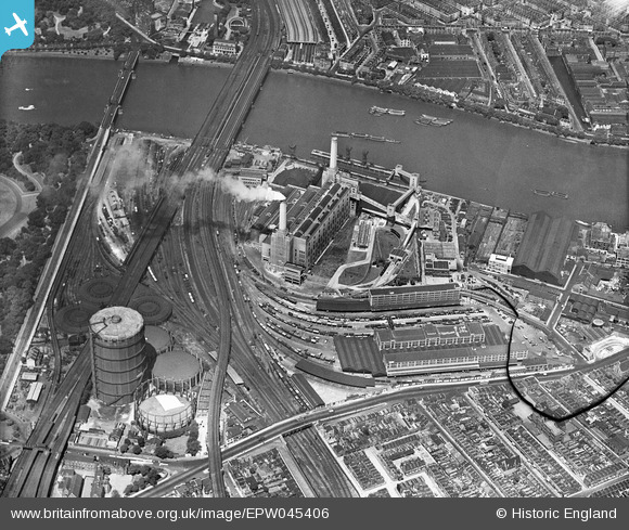
EPW045406 ENGLAND (1934). Battersea Power Station and environs, Battersea, 1934. This image has been produced from a damaged negative.
© Copyright OpenStreetMap contributors and licensed by the OpenStreetMap Foundation. 2026. Cartography is licensed as CC BY-SA.
Nearby Images (18)
EPW045406

EPW040850

EAW000577

EPW043592

EAW048056

EAW048058

EPW045385

EPW040849

EAW048057

EPW040851

EAW036842

EPW043591

EPW057999

EAW000576

EPW024270

EAW034749

EPW059348

EPW058000

Details
| Title | [EPW045406] Battersea Power Station and environs, Battersea, 1934. This image has been produced from a damaged negative. |
| Reference | EPW045406 |
| Date | July-1934 |
| Link | |
| Place name | BATTERSEA |
| Parish | |
| District | |
| Country | ENGLAND |
| Easting / Northing | 528920, 177458 |
| Longitude / Latitude | -0.14322993938101, 51.480880509091 |
| National Grid Reference | TQ289775 |
Pins

birdwatc10her |
Tuesday 22nd of September 2020 09:11:26 PM | |
|
Chris Long |
Friday 28th of August 2020 04:17:18 PM | |
|
brianbeckett |
Tuesday 30th of September 2014 04:47:38 PM | |
|
brianbeckett |
Monday 22nd of September 2014 02:34:41 PM | |
|
MB |
Saturday 5th of July 2014 10:10:25 AM | |
|
MB |
Saturday 5th of July 2014 10:09:44 AM | |

Alan McFaden |
Sunday 4th of May 2014 07:31:52 PM | |
|
Alan McFaden |
Friday 18th of April 2014 09:38:09 AM | |
|
Alan McFaden |
Friday 18th of April 2014 09:37:40 AM | |
The Victorua Bridge in 1934 but after reconsruction in the 1960s, the Grosvenor. |
brianbeckett |
Monday 22nd of September 2014 02:33:38 PM |
|
Alan McFaden |
Friday 18th of April 2014 09:37:05 AM | |
|
Robin |
Friday 29th of November 2013 07:17:38 PM | |
|
Robin |
Friday 29th of November 2013 07:10:59 PM | |
|
Robin |
Friday 29th of November 2013 06:49:03 PM | |
|
Robin |
Friday 29th of November 2013 06:22:19 PM | |
|
Robin |
Friday 29th of November 2013 06:19:00 PM | |
|
Robin |
Friday 29th of November 2013 06:07:13 PM | |
|
Robin |
Friday 29th of November 2013 05:56:59 PM | |
|
Robin |
Friday 29th of November 2013 05:36:24 PM | |
|
Robin |
Thursday 28th of November 2013 05:04:43 PM | |
|
Robin |
Thursday 28th of November 2013 04:56:12 PM | |
|
Robin |
Thursday 28th of November 2013 04:51:23 PM | |
|
Robin |
Thursday 28th of November 2013 04:33:21 PM | |
|
MB |
Tuesday 5th of November 2013 05:23:40 PM | |
|
Alan McFaden |
Sunday 26th of May 2013 06:45:41 PM | |
|
Alan McFaden |
Sunday 26th of May 2013 06:44:41 PM |


User Comment Contributions
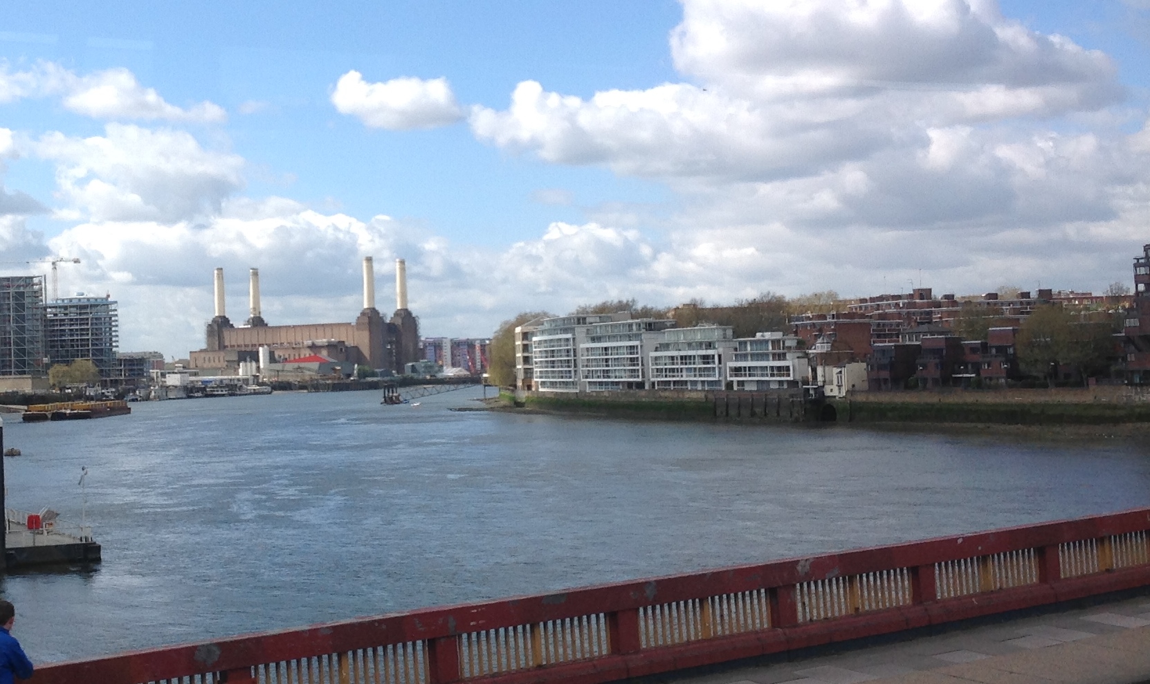
Battersea Power Station from Vauxhall Bridge 08/04/2014 |

Class31 |
Thursday 10th of April 2014 08:44:32 PM |