
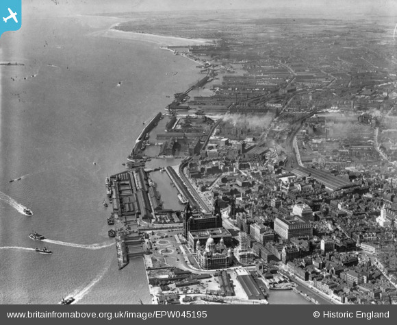
EPW045195 ENGLAND (1934). Docks along the River Mersey, Liverpool, from the south, 1934. This image has been produced from a print.
© Copyright OpenStreetMap contributors and licensed by the OpenStreetMap Foundation. 2026. Cartography is licensed as CC BY-SA.
Nearby Images (30)
EPW045195

EPW003060

EPW011192

EPW045192

EPW023588

EAW001915

EPW003065

EPW023593

EAW023375

EAW001921

EPW003057

EAW670571

EPR000324

EPR000299

EPW045193

EAW001917

EAW001916

EPW011191

EPW045194

EPW023591

EPR000325

EPW003058

EAW023374

EPW045196

EAW043397

EPW023592

EPW050113

EAW366628

EPR000298

EPW051520

Details
| Title | [EPW045195] Docks along the River Mersey, Liverpool, from the south, 1934. This image has been produced from a print. |
| Reference | EPW045195 |
| Date | July-1934 |
| Link | |
| Place name | LIVERPOOL |
| Parish | |
| District | |
| Country | ENGLAND |
| Easting / Northing | 333876, 390378 |
| Longitude / Latitude | -2.9947637688986, 53.405811502319 |
| National Grid Reference | SJ339904 |
Pins

Bottom Yard |
Sunday 11th of May 2025 05:36:57 PM | |
|
Bottom Yard |
Sunday 11th of May 2025 05:36:14 PM | |
|
austin |
Tuesday 6th of October 2020 03:37:56 PM | |
|
BobH |
Tuesday 9th of August 2016 07:21:31 PM | |
|
BobH |
Tuesday 9th of August 2016 07:20:31 PM |