
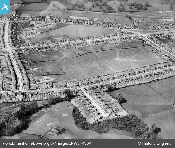
EPW044364 ENGLAND (1934). Penhill Park Recreation Ground and environs, Sidcup, 1934
© Copyright OpenStreetMap contributors and licensed by the OpenStreetMap Foundation. 2026. Cartography is licensed as CC BY-SA.
Nearby Images (15)
EPW044364

EPW044367

EPW040882

EPW040878

EPW038439

EPW044365

EPW044363

EPW044370

EPW040879

EPW044368

EPW040876

EPW040881

EPW040885

EPW040887

EPW040883

Details
| Title | [EPW044364] Penhill Park Recreation Ground and environs, Sidcup, 1934 |
| Reference | EPW044364 |
| Date | May-1934 |
| Link | |
| Place name | SIDCUP |
| Parish | |
| District | |
| Country | ENGLAND |
| Easting / Northing | 546967, 173846 |
| Longitude / Latitude | 0.11501145266952, 51.444019882766 |
| National Grid Reference | TQ470738 |
Pins
Be the first to add a comment to this image!