
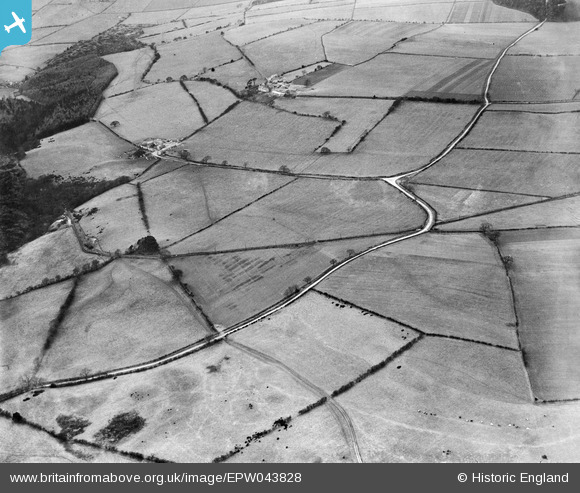
EPW043828 ENGLAND (1934). Lead Lane and the Garesfield and Chopwell Railway, Hollings, 1934
© Copyright OpenStreetMap contributors and licensed by the OpenStreetMap Foundation. 2025. Cartography is licensed as CC BY-SA.
Nearby Images (2)
EPW043828

EPW043842

Details
| Title | [EPW043828] Lead Lane and the Garesfield and Chopwell Railway, Hollings, 1934 |
| Reference | EPW043828 |
| Date | February-1934 |
| Link | |
| Place name | HOLLINGS |
| Parish | HEDLEY |
| District | |
| Country | ENGLAND |
| Easting / Northing | 409389, 557506 |
| Longitude / Latitude | -1.8535305204429, 54.912091469727 |
| National Grid Reference | NZ094575 |
Pins
Be the first to add a comment to this image!