
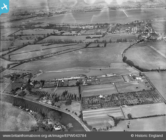
EPW043784 ENGLAND (1934). Shepperton Range, Chertsey Road and the Queen Mary Reservoir, Shepperton, from the south, 1934
© Copyright OpenStreetMap contributors and licensed by the OpenStreetMap Foundation. 2024. Cartography is licensed as CC BY-SA.
Nearby Images (2)
EPW043784

EPW043785

Details
| Title | [EPW043784] Shepperton Range, Chertsey Road and the Queen Mary Reservoir, Shepperton, from the south, 1934 |
| Reference | EPW043784 |
| Date | February-1934 |
| Link | |
| Place name | SHEPPERTON |
| Parish | |
| District | |
| Country | ENGLAND |
| Easting / Northing | 506622, 166635 |
| Longitude / Latitude | -0.46749969620378, 51.388232561539 |
| National Grid Reference | TQ066666 |
Pins
 bumblee |
Monday 4th of November 2019 01:47:44 PM | |
bumblee |
Tuesday 25th of August 2015 12:31:18 PM | |
bumblee |
Tuesday 4th of August 2015 01:28:45 PM | |
mpg |
Sunday 10th of August 2014 10:41:29 PM |


