
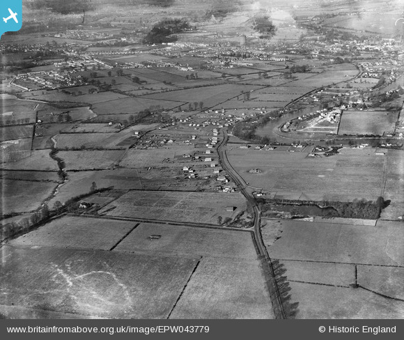
EPW043779 ENGLAND (1934). Chertsey Lane and surrounding countryside, Thorpe, from the south, 1934
© Copyright OpenStreetMap contributors and licensed by the OpenStreetMap Foundation. 2026. Cartography is licensed as CC BY-SA.
Nearby Images (2)
EPW043779

EAW038857

Details
| Title | [EPW043779] Chertsey Lane and surrounding countryside, Thorpe, from the south, 1934 |
| Reference | EPW043779 |
| Date | February-1934 |
| Link | |
| Place name | THORPE |
| Parish | |
| District | |
| Country | ENGLAND |
| Easting / Northing | 503665, 169110 |
| Longitude / Latitude | -0.5092623587822, 51.411029855586 |
| National Grid Reference | TQ037691 |
Pins
Be the first to add a comment to this image!