
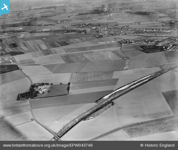
EPW043748 ENGLAND (1934). The Southern Railway line, Ozengell Grange and surrounding countryside, Newington, from the south-west, 1934
© Copyright OpenStreetMap contributors and licensed by the OpenStreetMap Foundation. 2026. Cartography is licensed as CC BY-SA.
Nearby Images (2)
EPW043748

EPW043747

Details
| Title | [EPW043748] The Southern Railway line, Ozengell Grange and surrounding countryside, Newington, from the south-west, 1934 |
| Reference | EPW043748 |
| Date | February-1934 |
| Link | |
| Place name | NEWINGTON |
| Parish | RAMSGATE |
| District | |
| Country | ENGLAND |
| Easting / Northing | 635848, 165490 |
| Longitude / Latitude | 1.3866019368409, 51.338986513646 |
| National Grid Reference | TR358655 |
Pins

Maurice |
Thursday 26th of December 2013 05:17:42 PM |