
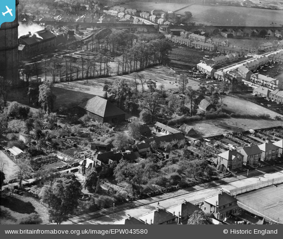
EPW043580 ENGLAND (1933). The Grange, Roxeth, 1933
© Copyright OpenStreetMap contributors and licensed by the OpenStreetMap Foundation. 2026. Cartography is licensed as CC BY-SA.
Nearby Images (7)
EPW043580

EPW043585

EPW043582

EPW043581

EPW043583

EPW043584

EPW009579

Details
| Title | [EPW043580] The Grange, Roxeth, 1933 |
| Reference | EPW043580 |
| Date | October-1933 |
| Link | |
| Place name | ROXETH |
| Parish | |
| District | |
| Country | ENGLAND |
| Easting / Northing | 514394, 186886 |
| Longitude / Latitude | -0.34927927860499, 51.568751432143 |
| National Grid Reference | TQ144869 |
Pins

The Laird |
Wednesday 16th of September 2015 12:21:50 PM | |
|
The Laird |
Monday 27th of April 2015 03:50:01 PM |