
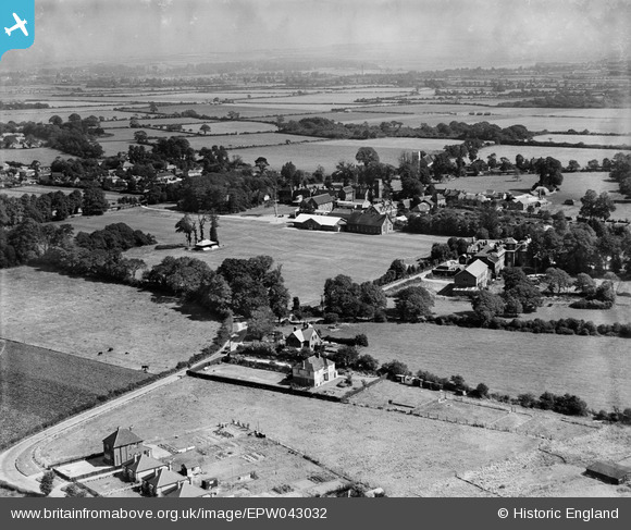
EPW043032 ENGLAND (1933). Stubbington House School and surrounding countryside, Stubbington, from the south-west, 1933
© Copyright OpenStreetMap contributors and licensed by the OpenStreetMap Foundation. 2026. Cartography is licensed as CC BY-SA.
Nearby Images (2)
EPW043032

EPW043031

Details
| Title | [EPW043032] Stubbington House School and surrounding countryside, Stubbington, from the south-west, 1933 |
| Reference | EPW043032 |
| Date | August-1933 |
| Link | |
| Place name | STUBBINGTON |
| Parish | |
| District | |
| Country | ENGLAND |
| Easting / Northing | 455113, 102819 |
| Longitude / Latitude | -1.217489045485, 50.82172541286 |
| National Grid Reference | SU551028 |
Pins
Be the first to add a comment to this image!