
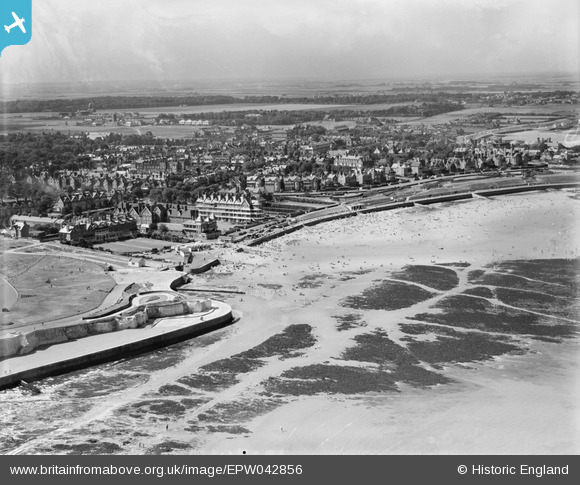
EPW042856 ENGLAND (1933). St Mildred's Bay and environs, Westgate-on-Sea, from the north-east, 1933
© Copyright OpenStreetMap contributors and licensed by the OpenStreetMap Foundation. 2026. Cartography is licensed as CC BY-SA.
Nearby Images (9)
EPW042856

EPW035479

EPW009157

EPW054077

EPW009160

EPW009159

EPW009156

EPW009158

EPW042855

Details
| Title | [EPW042856] St Mildred's Bay and environs, Westgate-on-Sea, from the north-east, 1933 |
| Reference | EPW042856 |
| Date | August-1933 |
| Link | |
| Place name | WESTGATE-ON-SEA |
| Parish | |
| District | |
| Country | ENGLAND |
| Easting / Northing | 632842, 170507 |
| Longitude / Latitude | 1.3468022199471, 51.385265046963 |
| National Grid Reference | TR328705 |
Pins
Be the first to add a comment to this image!