
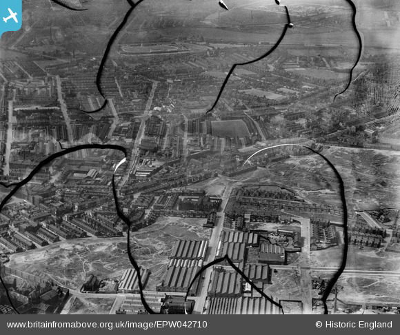
EPW042710 ENGLAND (1933). Strangeways to Lower Broughton, Strangeways, 1933. This image has been produced from a damaged negative.
© Copyright OpenStreetMap contributors and licensed by the OpenStreetMap Foundation. 2026. Cartography is licensed as CC BY-SA.
Nearby Images (3)
EPW042710

EPW042708

EPW042709

Details
| Title | [EPW042710] Strangeways to Lower Broughton, Strangeways, 1933. This image has been produced from a damaged negative. |
| Reference | EPW042710 |
| Date | August-1933 |
| Link | |
| Place name | STRANGEWAYS |
| Parish | |
| District | |
| Country | ENGLAND |
| Easting / Northing | 383245, 400009 |
| Longitude / Latitude | -2.2525934706218, 53.496266004478 |
| National Grid Reference | SD832000 |
Pins

Gary |
Monday 6th of June 2022 10:47:11 PM | |
|
Gary |
Tuesday 7th of December 2021 06:03:01 PM | |
|
Gary |
Tuesday 7th of December 2021 06:01:19 PM | |
|
Gary |
Thursday 22nd of October 2020 08:08:01 PM | |
|
Gary |
Sunday 26th of April 2020 08:13:55 PM | |
|
Gary |
Monday 13th of January 2020 07:04:22 PM |