
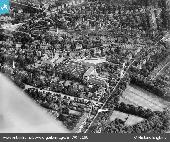
EPW042169 ENGLAND (1933). Highbury Grove, works off Aberdeen Lane and environs, Highbury, 1933
© Copyright OpenStreetMap contributors and licensed by the OpenStreetMap Foundation. 2026. Cartography is licensed as CC BY-SA.
Nearby Images (3)
EPW042169

EPW042165

EPW042166

Details
| Title | [EPW042169] Highbury Grove, works off Aberdeen Lane and environs, Highbury, 1933 |
| Reference | EPW042169 |
| Date | July-1933 |
| Link | |
| Place name | HIGHBURY |
| Parish | |
| District | |
| Country | ENGLAND |
| Easting / Northing | 532054, 185171 |
| Longitude / Latitude | -0.095228844333534, 51.549478116744 |
| National Grid Reference | TQ321852 |
Pins

billyfern |
Saturday 28th of June 2014 04:46:20 PM | |
|
billyfern |
Saturday 28th of June 2014 04:45:45 PM | |
|
billyfern |
Saturday 28th of June 2014 04:44:26 PM | |
|
billyfern |
Saturday 28th of June 2014 04:42:29 PM | |
|
billyfern |
Saturday 28th of June 2014 04:30:12 PM | |
|
billyfern |
Saturday 28th of June 2014 04:26:41 PM | |
|
billyfern |
Saturday 28th of June 2014 04:26:14 PM | |
|
billyfern |
Saturday 28th of June 2014 04:25:40 PM | |
|
billyfern |
Saturday 28th of June 2014 04:25:23 PM | |
|
billyfern |
Saturday 28th of June 2014 04:24:58 PM |