
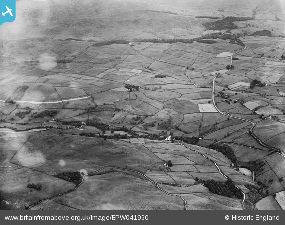
EPW041960 ENGLAND (1933). The view over Carl Crag, Whiteside and Lamb Pasture, Potter Fell, from the south-west, 1933
© Copyright OpenStreetMap contributors and licensed by the OpenStreetMap Foundation. 2026. Cartography is licensed as CC BY-SA.
Nearby Images (2)
EPW041960

EPW048611

Details
| Title | [EPW041960] The view over Carl Crag, Whiteside and Lamb Pasture, Potter Fell, from the south-west, 1933 |
| Reference | EPW041960 |
| Date | June-1933 |
| Link | |
| Place name | POTTER FELL |
| Parish | STRICKLAND ROGER |
| District | |
| Country | ENGLAND |
| Easting / Northing | 351934, 498850 |
| Longitude / Latitude | -2.7401606582815, 54.382726264766 |
| National Grid Reference | SD519989 |
Pins
Be the first to add a comment to this image!