
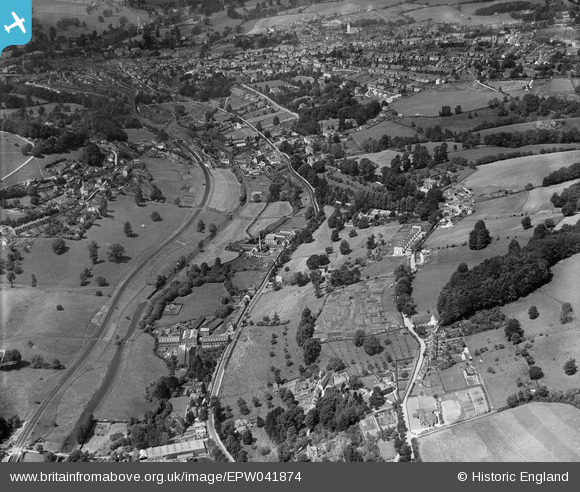
EPW041874 ENGLAND (1933). Thrupp, the London Road, Great Western Railway and Thames & Severn Canal, Stroud, 1933
© Copyright OpenStreetMap contributors and licensed by the OpenStreetMap Foundation. 2026. Cartography is licensed as CC BY-SA.
Nearby Images (2)
EPW041874

EPW041875

Details
| Title | [EPW041874] Thrupp, the London Road, Great Western Railway and Thames & Severn Canal, Stroud, 1933 |
| Reference | EPW041874 |
| Date | June-1933 |
| Link | |
| Place name | STROUD |
| Parish | STROUD |
| District | |
| Country | ENGLAND |
| Easting / Northing | 385973, 203887 |
| Longitude / Latitude | -2.2031383657565, 51.733062838753 |
| National Grid Reference | SO860039 |
Pins

NB |
Wednesday 3rd of September 2025 11:57:36 AM | |
|
gBr |
Thursday 9th of March 2017 04:32:27 PM | |
|
gBr |
Thursday 9th of March 2017 04:29:47 PM | |
|
austinkiwi |
Wednesday 24th of August 2016 06:28:43 PM | |
|
austinkiwi |
Wednesday 24th of August 2016 06:26:46 PM | |
|
gBr |
Saturday 19th of September 2015 02:00:14 PM | |
|
gBr |
Saturday 19th of September 2015 01:59:25 PM | |
|
gBr |
Saturday 19th of September 2015 01:57:50 PM | |
|
gBr |
Saturday 19th of September 2015 01:54:05 PM |
User Comment Contributions
I am fairly sure that Thrupp is in the parish of Thrupp not Stroud. Thrupp Parish also includes Brimscombe. |
austinkiwi |
Wednesday 24th of August 2016 06:30:44 PM |