
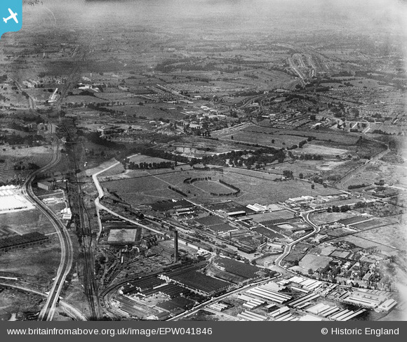
EPW041846 ENGLAND (1933). The Horse Ring football ground and various factories, Park Royal, from the south-east, 1933
© Copyright OpenStreetMap contributors and licensed by the OpenStreetMap Foundation. 2026. Cartography is licensed as CC BY-SA.
Nearby Images (25)
EPW041846

EPW041853

EPW041858

EPW033754

EAW017054

EPW041847

EPW033804

EPW033749

EPW033753

EPW033810

EAW017055

EAW017052

EPW033747

EAW017051

EPW033752

EPW033746

EAW017053

EPW055632

EPW033750

EAW017048

EPW055631

EPW033808

EPW033809

EPW033806

EPW033748

Details
| Title | [EPW041846] The Horse Ring football ground and various factories, Park Royal, from the south-east, 1933 |
| Reference | EPW041846 |
| Date | June-1933 |
| Link | |
| Place name | PARK ROYAL |
| Parish | |
| District | |
| Country | ENGLAND |
| Easting / Northing | 519789, 182617 |
| Longitude / Latitude | -0.27291987566917, 51.529259667165 |
| National Grid Reference | TQ198826 |


