
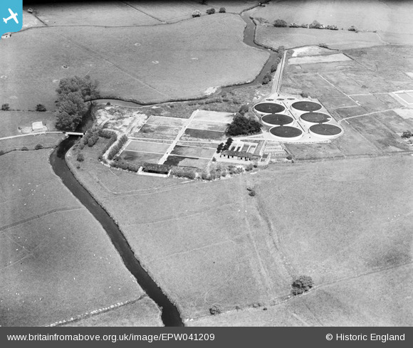
EPW041209 ENGLAND (1933). Ashford Sewage Works, Ashford, 1933
© Copyright OpenStreetMap contributors and licensed by the OpenStreetMap Foundation. 2025. Cartography is licensed as CC BY-SA.
Nearby Images (2)
EPW041209

EPW026087

Details
| Title | [EPW041209] Ashford Sewage Works, Ashford, 1933 |
| Reference | EPW041209 |
| Date | May-1933 |
| Link | |
| Place name | ASHFORD |
| Parish | |
| District | |
| Country | ENGLAND |
| Easting / Northing | 601801, 143518 |
| Longitude / Latitude | 0.88604920167804, 51.154754362099 |
| National Grid Reference | TR018435 |
Pins
Be the first to add a comment to this image!