
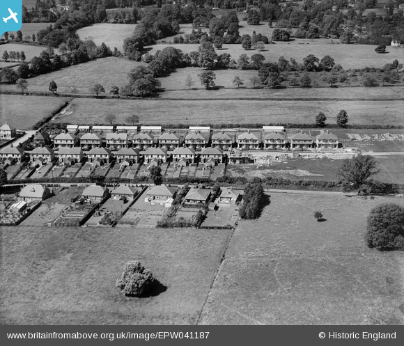
EPW041187 ENGLAND (1933). Kingston Road and new housing under construction at Clifford Avenue, Taunton, 1933
© Copyright OpenStreetMap contributors and licensed by the OpenStreetMap Foundation. 2025. Cartography is licensed as CC BY-SA.
Nearby Images (2)
EPW041187

EAW049102

Details
| Title | [EPW041187] Kingston Road and new housing under construction at Clifford Avenue, Taunton, 1933 |
| Reference | EPW041187 |
| Date | May-1933 |
| Link | |
| Place name | TAUNTON |
| Parish | |
| District | |
| Country | ENGLAND |
| Easting / Northing | 322255, 126562 |
| Longitude / Latitude | -3.1088567656767, 51.032618534721 |
| National Grid Reference | ST223266 |
Pins
Be the first to add a comment to this image!