
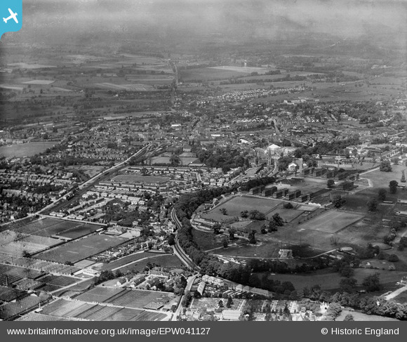
EPW041127 ENGLAND (1933). Hillingdon Golf Course and the town, Uxbridge, from the south-east, 1933
© Copyright OpenStreetMap contributors and licensed by the OpenStreetMap Foundation. 2026. Cartography is licensed as CC BY-SA.
Nearby Images (7)
EPW041127

EPW041125

EPW041122

EPW041126

EPW041123

EPW006640

EPW041124

Details
| Title | [EPW041127] Hillingdon Golf Course and the town, Uxbridge, from the south-east, 1933 |
| Reference | EPW041127 |
| Date | May-1933 |
| Link | |
| Place name | UXBRIDGE |
| Parish | |
| District | |
| Country | ENGLAND |
| Easting / Northing | 506088, 183350 |
| Longitude / Latitude | -0.47015503107496, 51.53858990076 |
| National Grid Reference | TQ061834 |
Pins

dave43 |
Friday 17th of May 2013 09:57:12 PM | |
|
dave43 |
Friday 17th of May 2013 09:56:38 PM | |
|
dave43 |
Friday 17th of May 2013 09:55:58 PM | |
|
dave43 |
Friday 17th of May 2013 09:52:12 PM | |
|
dave43 |
Friday 17th of May 2013 09:51:29 PM |