
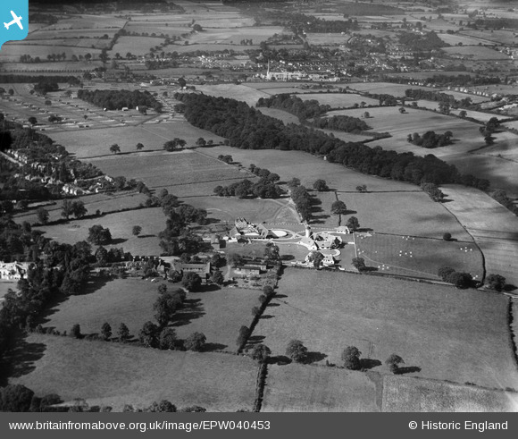
EPW040453 ENGLAND (1932). The Ovaltine Model Dairy Farm and environs, Abbots Langley, from the east, 1932
© Copyright OpenStreetMap contributors and licensed by the OpenStreetMap Foundation. 2026. Cartography is licensed as CC BY-SA.
Nearby Images (3)
EPW040453

EPW040450

EPW040451

Details
| Title | [EPW040453] The Ovaltine Model Dairy Farm and environs, Abbots Langley, from the east, 1932 |
| Reference | EPW040453 |
| Date | September-1932 |
| Link | |
| Place name | ABBOTS LANGLEY |
| Parish | ABBOTS LANGLEY |
| District | |
| Country | ENGLAND |
| Easting / Northing | 509848, 202624 |
| Longitude / Latitude | -0.40990971850278, 51.711121899341 |
| National Grid Reference | TL098026 |
Pins
Be the first to add a comment to this image!