
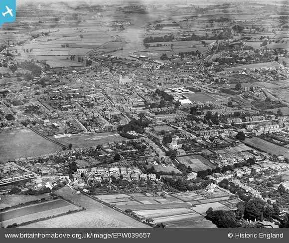
EPW039657 ENGLAND (1932). The town centre, Newport, 1932
© Copyright OpenStreetMap contributors and licensed by the OpenStreetMap Foundation. 2026. Cartography is licensed as CC BY-SA.
Nearby Images (4)
EPW039657

EPW023024

EAW022227

EAW022226

Details
| Title | [EPW039657] The town centre, Newport, 1932 |
| Reference | EPW039657 |
| Date | 12-August-1932 |
| Link | |
| Place name | NEWPORT |
| Parish | NEWPORT |
| District | |
| Country | ENGLAND |
| Easting / Northing | 449918, 88723 |
| Longitude / Latitude | -1.2931551078408, 50.695431936127 |
| National Grid Reference | SZ499887 |
Pins

Dylan Moore |
Saturday 9th of March 2013 07:57:41 PM |