
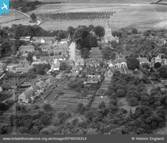
EPW039314 ENGLAND (1932). The village, Wingham, 1932. This image has been produced from a print.
© Copyright OpenStreetMap contributors and licensed by the OpenStreetMap Foundation. 2026. Cartography is licensed as CC BY-SA.
Nearby Images (5)
EPW039314

EAW004727

EPW039313

EAW004729

EAW004728

Details
| Title | [EPW039314] The village, Wingham, 1932. This image has been produced from a print. |
| Reference | EPW039314 |
| Date | July-1932 |
| Link | |
| Place name | WINGHAM |
| Parish | WINGHAM |
| District | |
| Country | ENGLAND |
| Easting / Northing | 624350, 157425 |
| Longitude / Latitude | 1.21671476186, 51.271227874082 |
| National Grid Reference | TR244574 |
Pins
Be the first to add a comment to this image!