
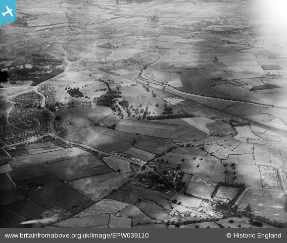
EPW039110 ENGLAND (1932). Lupset Park and surrounding countryside, Lupset, from the west, 1932
© Copyright OpenStreetMap contributors and licensed by the OpenStreetMap Foundation. 2026. Cartography is licensed as CC BY-SA.
Nearby Images (4)
EPW039110

EPW039108

EPW039107

EPW039109

Details
| Title | [EPW039110] Lupset Park and surrounding countryside, Lupset, from the west, 1932 |
| Reference | EPW039110 |
| Date | July-1932 |
| Link | |
| Place name | LUPSET |
| Parish | |
| District | |
| Country | ENGLAND |
| Easting / Northing | 430688, 418768 |
| Longitude / Latitude | -1.53551771817, 53.664263146072 |
| National Grid Reference | SE307188 |
Pins
Be the first to add a comment to this image!