
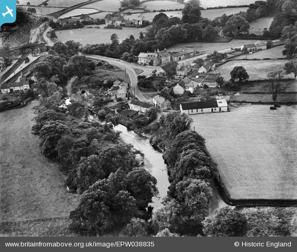
EPW038835 ENGLAND (1932). The village and the River Wenning, Wennington, 1932
© Copyright OpenStreetMap contributors and licensed by the OpenStreetMap Foundation. 2026. Cartography is licensed as CC BY-SA.
Nearby Images (3)
EPW038835

EPW038837

EPW038838

Details
| Title | [EPW038835] The village and the River Wenning, Wennington, 1932 |
| Reference | EPW038835 |
| Date | July-1932 |
| Link | |
| Place name | WENNINGTON |
| Parish | WENNINGTON |
| District | |
| Country | ENGLAND |
| Easting / Northing | 361849, 470062 |
| Longitude / Latitude | -2.5838250737454, 54.124823109297 |
| National Grid Reference | SD618701 |
Pins

Moonraker |
Sunday 3rd of December 2023 10:26:16 AM | |
|
lesgilpin |
Wednesday 29th of April 2015 05:52:33 PM | |
|
MB |
Saturday 30th of March 2013 05:53:45 PM | |
|
MB |
Saturday 30th of March 2013 05:53:16 PM | |
|
MB |
Saturday 30th of March 2013 05:52:51 PM | |
|
MB |
Saturday 30th of March 2013 05:52:18 PM |
User Comment Contributions
I remember taking a short trip by diesel multiple unit from Wennington to Bentham on a sunny day in July 1968. It seems quite a long time ago! |

Class31 |
Tuesday 11th of August 2015 09:55:05 AM |