
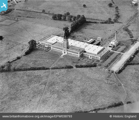
EPW038793 ENGLAND (1932). The Aladdin Building (Lamp Shade Manufactory), Greenford, 1932
© Copyright OpenStreetMap contributors and licensed by the OpenStreetMap Foundation. 2026. Cartography is licensed as CC BY-SA.
Nearby Images (22)
EPW038793
, Greenford, 1932")
EPW038797
, Greenford, 1932")
EPW053620

EPW038796
, Greenford, 1932")
EPW053621

EPW053619

EPW053622

EPW038795
, Greenford, 1932")
EPW053618

EPW038798
 and Greenford Trotting Track, Greenford, 1932")
EPR000604
, Greenford, 1935")
EPW038794
 and Greenford Trotting Track, Greenford, 1932")
EPW053625

EPW053623

EPW053617

EPW053624

EPR000029
, Greenford, 1934")
EPW059347
, Greenford, 1938")
EPR000028

EPW061233

EPW034570

EPW059346
 and environs, Greenford, 1938")
Details
| Title | [EPW038793] The Aladdin Building (Lamp Shade Manufactory), Greenford, 1932 |
| Reference | EPW038793 |
| Date | June-1932 |
| Link | |
| Place name | GREENFORD |
| Parish | |
| District | |
| Country | ENGLAND |
| Easting / Northing | 513782, 183531 |
| Longitude / Latitude | -0.35919226922848, 51.538718094349 |
| National Grid Reference | TQ138835 |
Pins

The Laird |
Thursday 28th of February 2019 01:30:57 PM |