
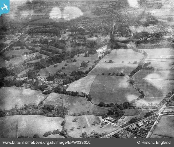
EPW038610 ENGLAND (1932). Pownall Hall and surroundings, Pownall Park, 1932
© Copyright OpenStreetMap contributors and licensed by the OpenStreetMap Foundation. 2025. Cartography is licensed as CC BY-SA.
Nearby Images (7)
EPW038610

EPW038613

EPW038607

EPW038609

EPW038611

EPW038612

EPW038608

Details
| Title | [EPW038610] Pownall Hall and surroundings, Pownall Park, 1932 |
| Reference | EPW038610 |
| Date | June-1932 |
| Link | |
| Place name | POWNALL PARK |
| Parish | |
| District | |
| Country | ENGLAND |
| Easting / Northing | 383715, 381710 |
| Longitude / Latitude | -2.2445624505144, 53.331781740695 |
| National Grid Reference | SJ837817 |
Pins
Be the first to add a comment to this image!