
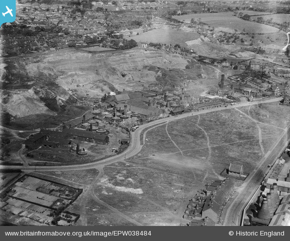
EPW038484 ENGLAND (1932). The Basford Tileries and environs, Stoke-on-Trent, 1932
© Copyright OpenStreetMap contributors and licensed by the OpenStreetMap Foundation. 2026. Cartography is licensed as CC BY-SA.
Nearby Images (21)
EPW038484

EPW038486

EPW038487

EPW038483

EPW038482

EPW038485

EPW026968

EPW026978

EPW026970

EPW026969

EPW026977

EPW026971

EPW026974

EPW023569

EPW023570

EPW023568

EPW023571

EPW020065

EPW038491

EAW021618

EAW021621

Details
| Title | [EPW038484] The Basford Tileries and environs, Stoke-on-Trent, 1932 |
| Reference | EPW038484 |
| Date | June-1932 |
| Link | |
| Place name | STOKE-ON-TRENT |
| Parish | |
| District | |
| Country | ENGLAND |
| Easting / Northing | 386461, 346594 |
| Longitude / Latitude | -2.2018372486049, 53.016169880713 |
| National Grid Reference | SJ865466 |
Pins

cidge |
Wednesday 1st of August 2018 01:12:12 PM |