
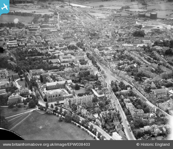
EPW038403 ENGLAND (1932). St Giles' and the city, Oxford, from the north, 1932
© Copyright OpenStreetMap contributors and licensed by the OpenStreetMap Foundation. 2026. Cartography is licensed as CC BY-SA.
Nearby Images (8)
EPW038403

EAW003128

EPW022533

EAW045714
 and part of Keble College, Oxford, 1952. This image has been produced from a damaged negative.")
EPW022532

EPW022529

EPW022523

EPW000830

Details
| Title | [EPW038403] St Giles' and the city, Oxford, from the north, 1932 |
| Reference | EPW038403 |
| Date | June-1932 |
| Link | |
| Place name | OXFORD |
| Parish | |
| District | |
| Country | ENGLAND |
| Easting / Northing | 451239, 207032 |
| Longitude / Latitude | -1.2575267701607, 51.759173860652 |
| National Grid Reference | SP512070 |
Pins

Alan McFaden |
Tuesday 25th of November 2014 04:17:32 PM | |

Taube |
Thursday 7th of March 2013 03:28:01 PM |

User Comment Contributions

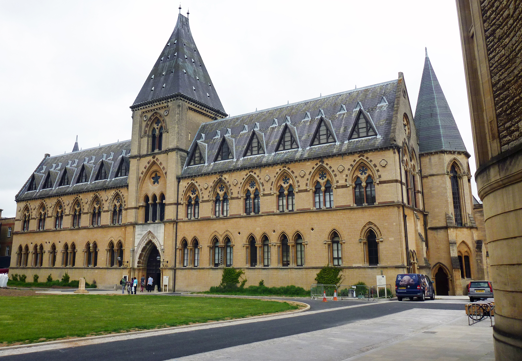
Pittrivers Museum Oxford |
Alan McFaden |
Tuesday 25th of November 2014 04:19:53 PM |
Pittrivers Museum Oxford |
Alan McFaden |
Tuesday 25th of November 2014 04:19:25 PM |
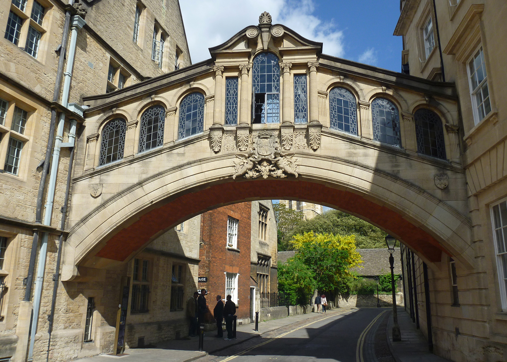
The Bridge of Sighs Oxford |
Alan McFaden |
Tuesday 25th of November 2014 04:18:58 PM |

Christ Church Memorial Garden Oxford |
Alan McFaden |
Tuesday 25th of November 2014 04:18:31 PM |
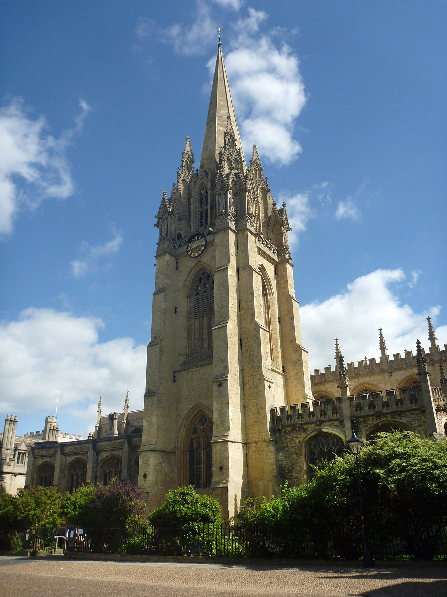
Saint Mary's Church Oxford |
Alan McFaden |
Tuesday 25th of November 2014 04:18:00 PM |
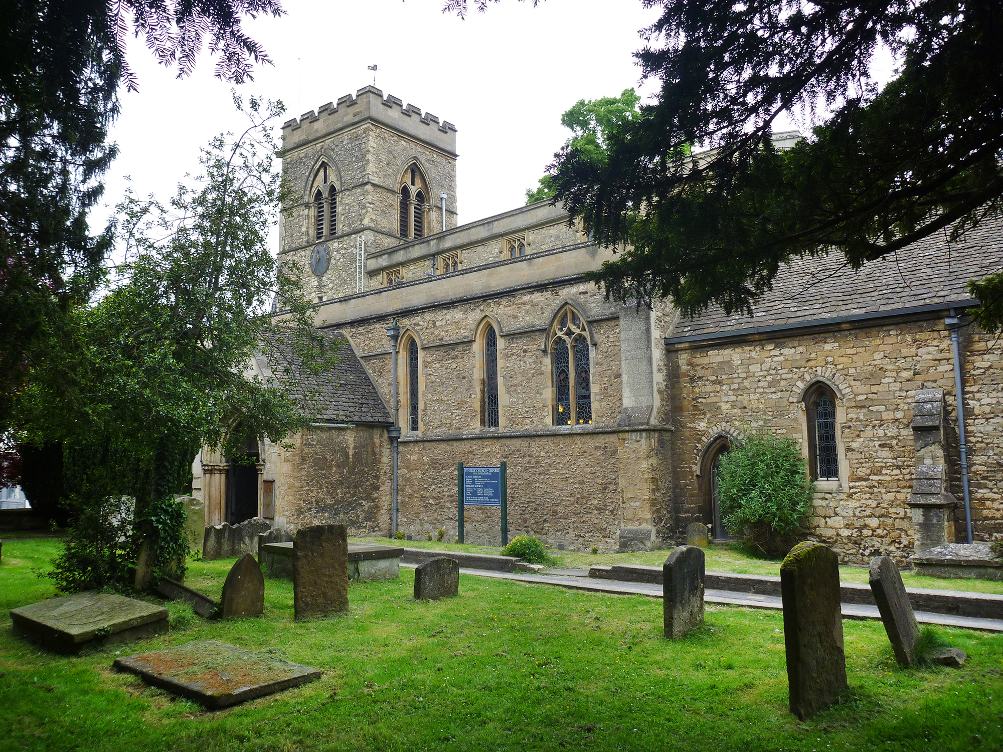
Saint Giles Church Oxford |
Alan McFaden |
Tuesday 25th of November 2014 04:16:11 PM |