
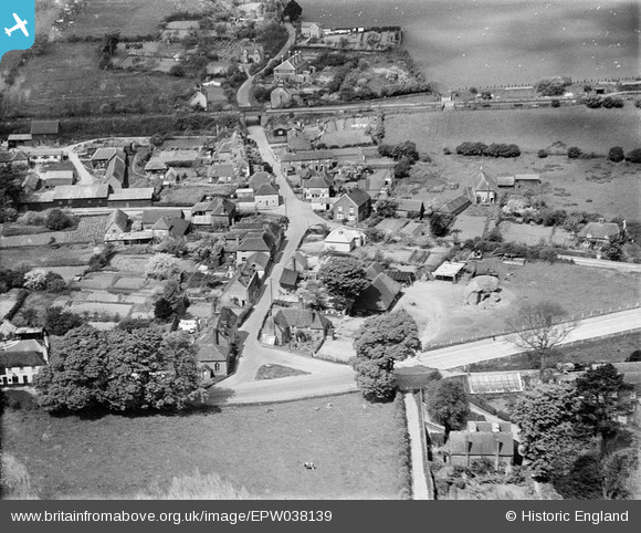
EPW038139 ENGLAND (1932). Derringstone, Barham, 1932
© Copyright OpenStreetMap contributors and licensed by the OpenStreetMap Foundation. 2026. Cartography is licensed as CC BY-SA.
Nearby Images (4)
EPW038139

EPW038140

EPW038141

EPW038138

Details
| Title | [EPW038139] Derringstone, Barham, 1932 |
| Reference | EPW038139 |
| Date | May-1932 |
| Link | |
| Place name | BARHAM |
| Parish | BARHAM |
| District | |
| Country | ENGLAND |
| Easting / Northing | 620569, 149452 |
| Longitude / Latitude | 1.1576827640905, 51.201112461202 |
| National Grid Reference | TR206495 |
Pins
Be the first to add a comment to this image!