
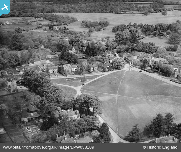
EPW038109 ENGLAND (1932). The Green, Bearsted, 1932
© Copyright OpenStreetMap contributors and licensed by the OpenStreetMap Foundation. 2026. Cartography is licensed as CC BY-SA.
Nearby Images (2)
EPW038109

EPW038107

Details
| Title | [EPW038109] The Green, Bearsted, 1932 |
| Reference | EPW038109 |
| Date | May-1932 |
| Link | |
| Place name | BEARSTED |
| Parish | BEARSTED |
| District | |
| Country | ENGLAND |
| Easting / Northing | 579980, 155946 |
| Longitude / Latitude | 0.5805737025173, 51.273685943262 |
| National Grid Reference | TQ800559 |
