
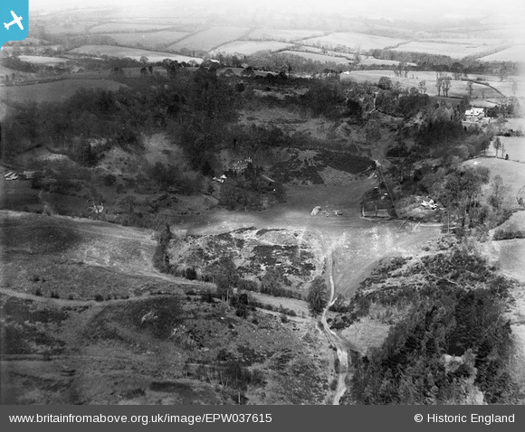
EPW037615 ENGLAND (1932). Habberley Valley, Low Habberley, 1932
© Copyright OpenStreetMap contributors and licensed by the OpenStreetMap Foundation. 2025. Cartography is licensed as CC BY-SA.
Nearby Images (3)
EPW037615

EPW037616

EPW037617

Details
| Title | [EPW037615] Habberley Valley, Low Habberley, 1932 |
| Reference | EPW037615 |
| Date | April-1932 |
| Link | |
| Place name | LOW HABBERLEY |
| Parish | KIDDERMINSTER FOREIGN |
| District | |
| Country | ENGLAND |
| Easting / Northing | 380154, 277779 |
| Longitude / Latitude | -2.291704791544, 52.397288827644 |
| National Grid Reference | SO802778 |
Pins
Be the first to add a comment to this image!