
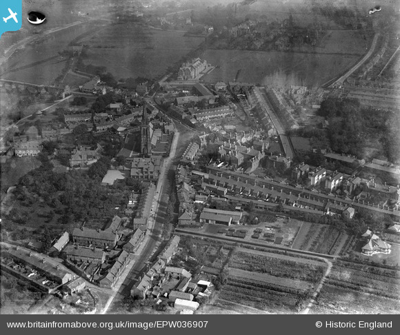
EPW036907 ENGLAND (1931). Overleigh Road and St Mary's Church, Handbridge, 1931
© Copyright OpenStreetMap contributors and licensed by the OpenStreetMap Foundation. 2026. Cartography is licensed as CC BY-SA.
Nearby Images (3)
EPW036907

EPW058006

EPW029590

Details
| Title | [EPW036907] Overleigh Road and St Mary's Church, Handbridge, 1931 |
| Reference | EPW036907 |
| Date | September-1931 |
| Link | |
| Place name | HANDBRIDGE |
| Parish | |
| District | |
| Country | ENGLAND |
| Easting / Northing | 340701, 365394 |
| Longitude / Latitude | -2.8874364415047, 53.182049222432 |
| National Grid Reference | SJ407654 |
