
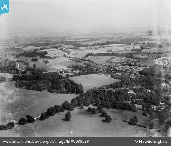
EPW036638 ENGLAND (1931). Church Hill, the Merstham Tunnel shafts and surrounding countryside, Merstham, from the south-west, 1931
© Copyright OpenStreetMap contributors and licensed by the OpenStreetMap Foundation. 2026. Cartography is licensed as CC BY-SA.
Nearby Images (2)
EPW036638

EPW036651

Details
| Title | [EPW036638] Church Hill, the Merstham Tunnel shafts and surrounding countryside, Merstham, from the south-west, 1931 |
| Reference | EPW036638 |
| Date | September-1931 |
| Link | |
| Place name | MERSTHAM |
| Parish | |
| District | |
| Country | ENGLAND |
| Easting / Northing | 528614, 153863 |
| Longitude / Latitude | -0.15617646992372, 51.26887792279 |
| National Grid Reference | TQ286539 |
Pins
Be the first to add a comment to this image!