
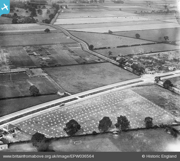
EPW036564 ENGLAND (1931). The junction of Boothferry Road and Beverley Road, Northfield, 1931
© Copyright OpenStreetMap contributors and licensed by the OpenStreetMap Foundation. 2025. Cartography is licensed as CC BY-SA.
Nearby Images (2)
EPW036564

EPW036563

Details
| Title | [EPW036564] The junction of Boothferry Road and Beverley Road, Northfield, 1931 |
| Reference | EPW036564 |
| Date | August-1931 |
| Link | |
| Place name | NORTHFIELD |
| Parish | HESSLE |
| District | |
| Country | ENGLAND |
| Easting / Northing | 503208, 427368 |
| Longitude / Latitude | -0.43530899416625, 53.732255886038 |
| National Grid Reference | TA032274 |
Pins

ibw |
Saturday 9th of November 2019 05:34:34 PM |