
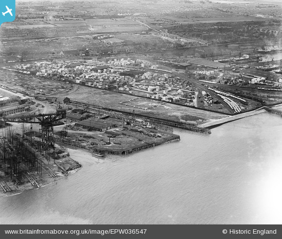
EPW036547 ENGLAND (1931). Earle's Shipbuilding and Engineering Yard and timber yards to the west of Alexandra Dock, Kingston upon Hull, 1931
© Copyright OpenStreetMap contributors and licensed by the OpenStreetMap Foundation. 2026. Cartography is licensed as CC BY-SA.
Nearby Images (3)
EPW036547

EPW010812

EPW036386

Details
| Title | [EPW036547] Earle's Shipbuilding and Engineering Yard and timber yards to the west of Alexandra Dock, Kingston upon Hull, 1931 |
| Reference | EPW036547 |
| Date | August-1931 |
| Link | |
| Place name | KINGSTON UPON HULL |
| Parish | |
| District | |
| Country | ENGLAND |
| Easting / Northing | 511713, 428728 |
| Longitude / Latitude | -0.30593663515238, 53.742723305911 |
| National Grid Reference | TA117287 |
Pins
Be the first to add a comment to this image!