
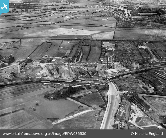
EPW036539 ENGLAND (1931). Premier Oil Extracting Mills and environs, Stoneferry, 1931
© Copyright OpenStreetMap contributors and licensed by the OpenStreetMap Foundation. 2026. Cartography is licensed as CC BY-SA.
Nearby Images (8)
EPW036539

EPW036524

EPW010836

EPW040267

EPW036533

EPW036521

EPW036397

EPW036534

Details
| Title | [EPW036539] Premier Oil Extracting Mills and environs, Stoneferry, 1931 |
| Reference | EPW036539 |
| Date | August-1931 |
| Link | |
| Place name | STONEFERRY |
| Parish | |
| District | |
| Country | ENGLAND |
| Easting / Northing | 510305, 431499 |
| Longitude / Latitude | -0.32628826514162, 53.767921224344 |
| National Grid Reference | TA103315 |
Pins

rachelst |
Monday 23rd of October 2017 08:48:54 PM | |
|
John Wass |
Friday 28th of November 2014 11:32:56 AM | |
|
John Wass |
Friday 28th of November 2014 11:32:16 AM | |
|
John Wass |
Tuesday 23rd of September 2014 03:08:17 PM | |
|
John Wass |
Wednesday 2nd of July 2014 04:10:24 PM | |

Dylan Moore |
Monday 10th of December 2012 10:31:06 PM |