
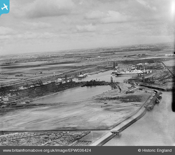
EPW036424 ENGLAND (1931). The King George Dock and environs, Kingston upon Hull, from the south-west, 1931
© Copyright OpenStreetMap contributors and licensed by the OpenStreetMap Foundation. 2026. Cartography is licensed as CC BY-SA.
Nearby Images (9)
EPW036424

EAW693178

EAW004511

EAW004510

EAW004509

EAW004512

EPW036423

EPW055043

EAW183440

Details
| Title | [EPW036424] The King George Dock and environs, Kingston upon Hull, from the south-west, 1931 |
| Reference | EPW036424 |
| Date | August-1931 |
| Link | |
| Place name | KINGSTON UPON HULL |
| Parish | |
| District | |
| Country | ENGLAND |
| Easting / Northing | 513832, 428692 |
| Longitude / Latitude | -0.2738323804184, 53.741941471365 |
| National Grid Reference | TA138287 |
Pins
Be the first to add a comment to this image!