
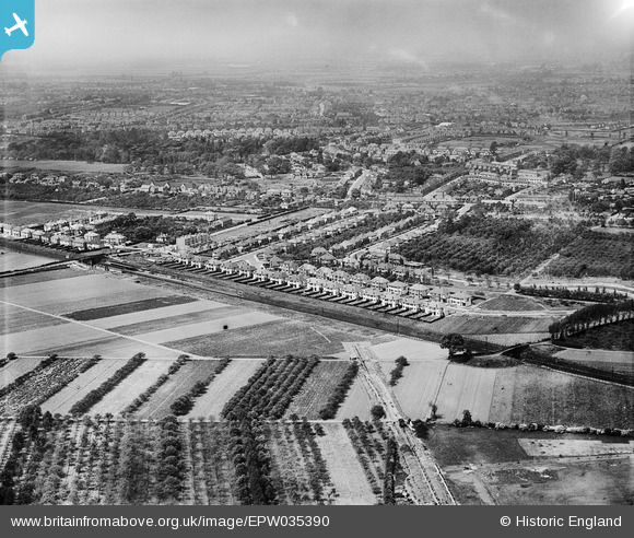
EPW035390 ENGLAND (1931). Housing at Whitton and environs, Whitton, from the south-east, 1931
© Copyright OpenStreetMap contributors and licensed by the OpenStreetMap Foundation. 2026. Cartography is licensed as CC BY-SA.
Nearby Images (5)
EPW035390

EPW035380

EPW035386

EPW035391

EPW035384

Details
| Title | [EPW035390] Housing at Whitton and environs, Whitton, from the south-east, 1931 |
| Reference | EPW035390 |
| Date | 27-May-1931 |
| Link | |
| Place name | WHITTON |
| Parish | |
| District | |
| Country | ENGLAND |
| Easting / Northing | 514505, 173411 |
| Longitude / Latitude | -0.35205487449698, 51.447605334555 |
| National Grid Reference | TQ145734 |
Pins
Be the first to add a comment to this image!