
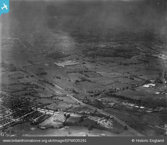
EPW035291 ENGLAND (1931). Land at Perivale, Perivale, from the south-east, 1931. This image has been produced from a print.
© Copyright OpenStreetMap contributors and licensed by the OpenStreetMap Foundation. 2026. Cartography is licensed as CC BY-SA.
Nearby Images (6)
EPW035291

EPW035536

EPW040779

EPW038723

EPW035535

EPW040784

Details
| Title | [EPW035291] Land at Perivale, Perivale, from the south-east, 1931. This image has been produced from a print. |
| Reference | EPW035291 |
| Date | May-1931 |
| Link | |
| Place name | PERIVALE |
| Parish | |
| District | |
| Country | ENGLAND |
| Easting / Northing | 517530, 182835 |
| Longitude / Latitude | -0.30540118437291, 51.531693986345 |
| National Grid Reference | TQ175828 |
Pins

KNITBY |
Saturday 18th of May 2019 09:55:58 PM | |
|
Leslie B |
Saturday 1st of December 2018 06:05:10 PM | |
|
Leslie B |
Saturday 1st of December 2018 06:04:15 PM | |

Des Elmes |
Wednesday 6th of April 2016 03:27:22 AM | |
|
Des Elmes |
Wednesday 6th of April 2016 03:26:58 AM | |
|
Des Elmes |
Wednesday 6th of April 2016 03:26:33 AM | |
|
Des Elmes |
Wednesday 6th of April 2016 03:26:11 AM | |
|
SimonRoberts |
Wednesday 17th of December 2014 09:33:31 PM | |
|
SimonRoberts |
Wednesday 17th of December 2014 09:33:26 PM |