
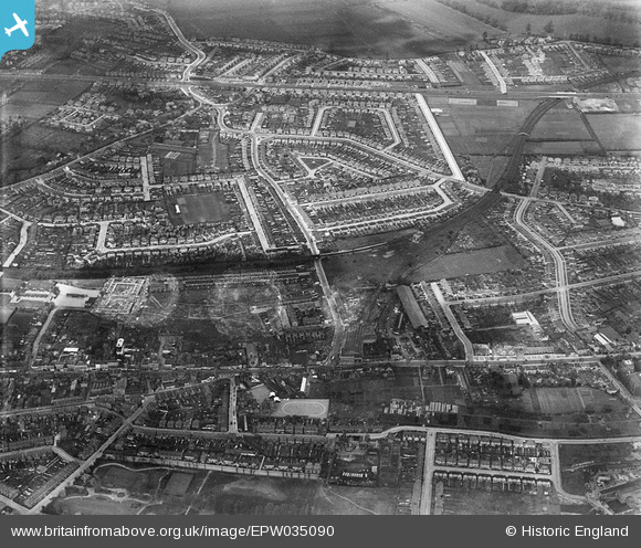
EPW035090 ENGLAND (1931). Kingsley Road and environs, Lampton, 1931
© Copyright OpenStreetMap contributors and licensed by the OpenStreetMap Foundation. 2026. Cartography is licensed as CC BY-SA.
Nearby Images (4)
EPW035090

EPW035076

EPW031668

EPW023232

Details
| Title | [EPW035090] Kingsley Road and environs, Lampton, 1931 |
| Reference | EPW035090 |
| Date | May-1931 |
| Link | |
| Place name | LAMPTON |
| Parish | |
| District | |
| Country | ENGLAND |
| Easting / Northing | 514232, 176181 |
| Longitude / Latitude | -0.35508706877277, 51.47255962603 |
| National Grid Reference | TQ142762 |
Pins
Be the first to add a comment to this image!